Illinois, Kentucky and Tennessee Split by Invisible Weather Line Friday Night as Storms Push South While Great Lakes High Pressure Holds the North Dry
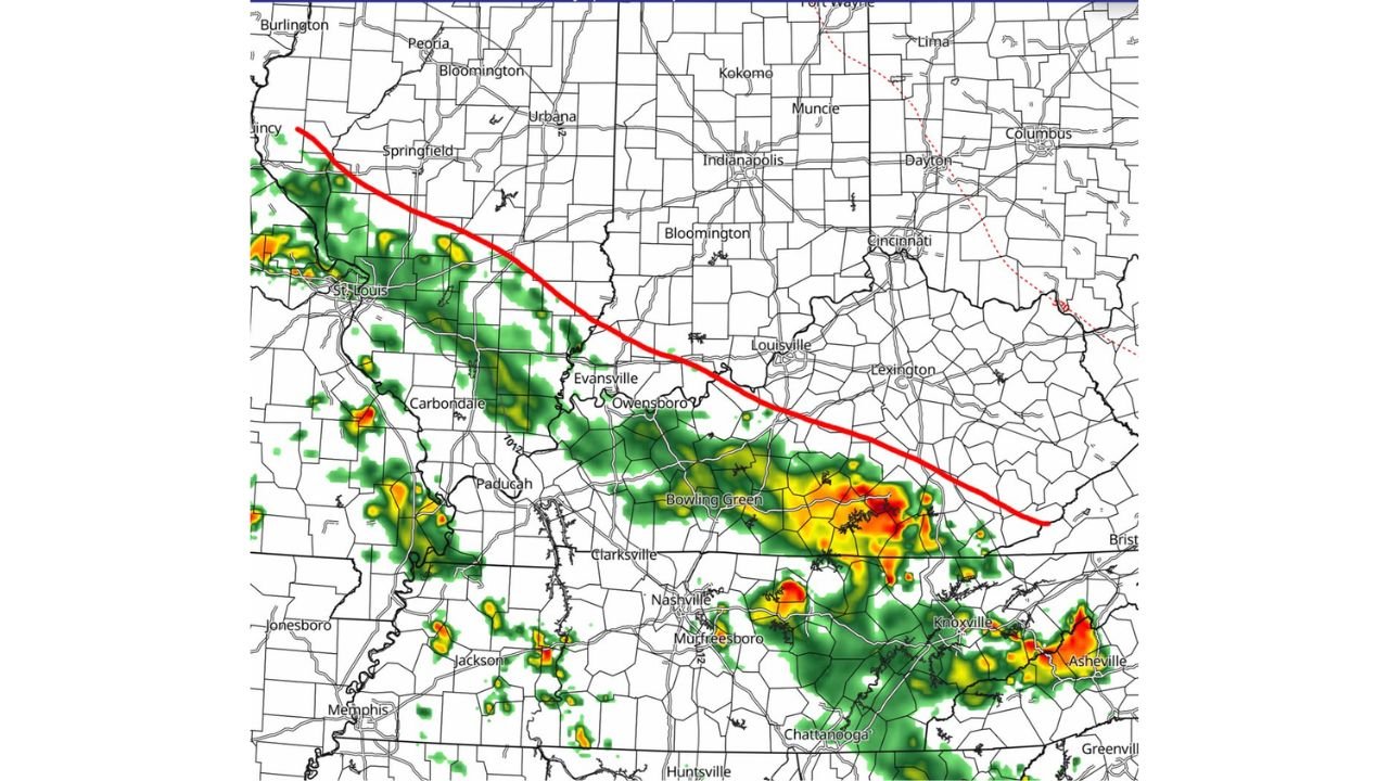
ILLINOIS — A critical weather boundary is set to divide the central and mid-South states on Friday evening, May 29, 2026, with storms and downpours pushing through the southern half of the region while high pressure over the Great Lakes acts as a wall keeping the northern half dry. The future radar valid at 10:00 PM CT on Friday, May 29 shows the dividing line running from St. Louis eastward through Louisville and into Lexington, with active storm activity below the line and dry conditions above it.
The Invisible Line and What It Means
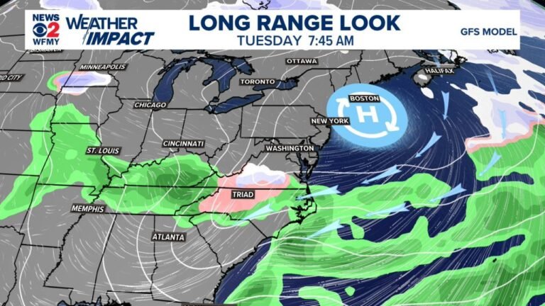
The red boundary drawn across the forecast map represents the effective northern limit of Friday evening’s shower and storm activity. Dry air flowing southward from a high pressure system over the Great Lakes is suppressing precipitation and preventing showers from advancing any further northeast through Friday PM.
Everything north of the line, including Springfield, Bloomington, Indianapolis, Dayton and Columbus, stays dry through Friday night. Everything south of the line remains in play for showers and storms through the evening hours.
Where Storms Are Active at 10 PM Friday
The future radar shows active storm cells concentrated across the southern portions of the region by 10:00 PM:
- St. Louis and Carbondale, Illinois on the western end of the line with scattered cells
- Evansville and Owensboro in the transition zone
- Bowling Green and Nashville, Tennessee with moderate to heavy storm activity
- Murfreesboro and Clarksville under active radar returns
- Knoxville and Asheville showing the most intense returns on the eastern end with deep red and orange cores
- Memphis, Jackson and Jonesboro in Arkansas with scattered activity on the southwestern flank
Saturday Trends Need Watching
Forecasters note there have been northeastward trends observed since Thursday afternoon that will need to be monitored heading into Saturday. If this trend continues, the storm boundary could shift further northeast over the weekend, potentially bringing rain chances to areas that stayed dry Friday night.
Who Is Safe and Who Should Stay Alert Friday Night
Dry through Friday night:
- Indianapolis, Dayton, Columbus
- Springfield, Bloomington, Peoria
- Lima, Kokomo, Muncie
Active storm chances Friday night:
- Nashville, Murfreesboro, Clarksville
- Bowling Green, Owensboro, Evansville
- Knoxville, Asheville, Chattanooga
- St. Louis, Carbondale, Paducah
Stay with CabarrusWeekly.com for continuing updates as the Friday night storm boundary is tracked and Saturday trends become clearer.