Kansas and Oklahoma Targeted for Significant Severe Weather Saturday as Powerful Upper Trough Charges In From the West
KANSAS AND OKLAHOMA — A powerful upper-level trough is charging into the central Plains this Saturday, May 30, 2026, setting the stage for significant severe weather across Kansas and Oklahoma. The upper-air analysis map shows a deeply amplified trough digging into the region with strong wind energy and diffluent flow across the primary threat zone, providing the atmospheric forcing needed to trigger and sustain intense storm development.
What the Upper-Level Map Is Showing
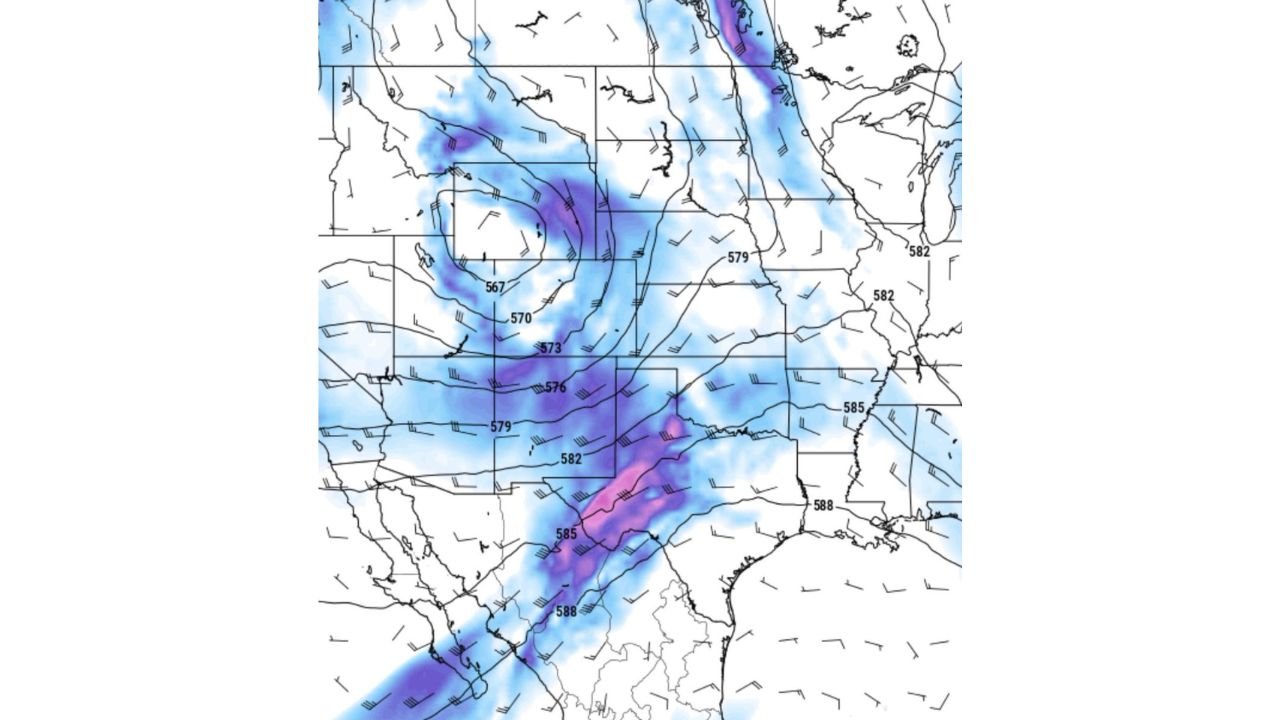
The 500mb height analysis displays a sharply digging trough moving in from the west, with height values dropping into the 567 to 573 dam range over the core of the system. This represents a strong and well-defined upper low positioned to drive severe weather across the central Plains. Key features on the map:
- The trough axis is oriented from the northern Rockies southward through the central Plains
- Height values of 567 to 576 dam over Kansas and Oklahoma indicate a deep and potent system
- Strong wind barbs across the trough zone signal significant wind shear in the atmosphere
- A concentrated purple shading zone runs from central Oklahoma southward into north Texas, indicating the area of strongest upper-level energy and diffluence
- A secondary deep purple corridor is visible across the upper Midwest, showing the breadth of the system
Why This Setup Is Dangerous
The combination of factors visible on this map creates the ingredients for supercell thunderstorm development:
- Strong upper-level wind shear from the trough provides the rotational energy needed for supercells
- Diffluent flow downstream of the trough axis enhances lift and storm organization
- The sharp height gradient between the trough core and the ridge to the east creates a highly favorable environment for long-tracked, intense storms
- Kansas and Oklahoma sit directly in the right entrance region of the upper jet, the favored area for severe storm initiation
The Primary Threat Zone
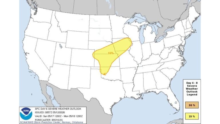
Based on the upper-level pattern, Kansas and Oklahoma are squarely in the crosshairs for Saturday. The trough positioning places the greatest atmospheric energy directly over this corridor, consistent with earlier surface instability data showing extreme CAPE values over western Kansas and Nebraska for the same period.
All severe weather hazards remain in play for Saturday across this region, including large hail, damaging winds and tornado potential as surface and upper-level ingredients combine through the afternoon and evening hours.
Stay with CabarrusWeekly.com for continuing updates as Saturday’s severe weather threat develops across Kansas and Oklahoma.