Oklahoma, Texas, Mississippi and Tennessee Face Very Active and Frequent Heavy Rain Pattern Returning May 19 Through May 24 as Jet Stream and Gulf Moisture Combine
OKLAHOMA CITY, Oklahoma — This week offers a quieter stretch across the Plains and Midwest with planting window opportunities and dry time to get into the fields, but the active weather pattern returns strongly around May 19 through May 24, 2026. As milder air shifts east, the jet stream combined with Gulf moisture will drive frequent and at times heavy rainfall across a corridor from Texas and Oklahoma through Mississippi, Tennessee, Chicago and toward Washington D.C. and Philadelphia.
What the May 19 Through May 24 Pattern Shows
The pattern breaking down into two distinct zones:
Very Active Zone — Southern Corridor:
- Oklahoma, Texas and Mississippi sit in the very active zone where the jet stream and Gulf moisture combine most aggressively
- New Orleans and Jackson on the southern fringe of the most active corridor
- Memphis and Nashville catching the northern edge of the very active zone
- Heavy rainfall potential is highest across this southern corridor as Gulf moisture streams directly into the jet stream flow
Active Zone — Northern Corridor:
- Chicago, Milwaukee, Detroit, Buffalo and Toronto sit in the active zone
- Washington D.C., Philadelphia and the Mid-Atlantic catching the eastern end of the active pattern
- Minneapolis and Omaha on the northwestern fringe of the active area
Warm Zones on the Flanks:
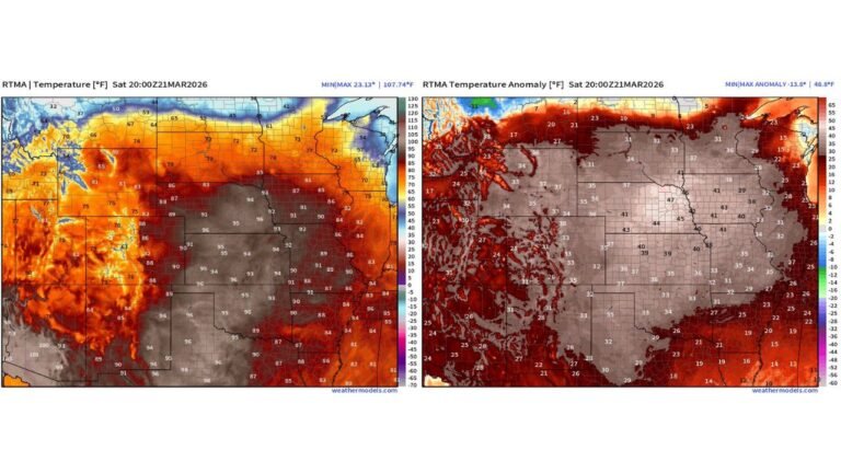
- California, Oregon, Las Vegas and the Southwest staying warm and dry under high pressure to the west
- Atlanta, Charlotte and the Southeast remaining warm on the southeastern flank of the active pattern
Cooler Air to the North:
- Bismarck, Minneapolis and Edmonton sitting under the cooler Canadian air mass that will be the northern boundary of the active weather zone
Why This Week Is the Window for Field Work
Before the active pattern returns May 19, this week offers a valuable dry window for farmers across the Plains and Midwest. The quieter overall pattern through approximately May 18 means:
- Planting windows are available across Oklahoma, Kansas and the central Plains
- Field conditions will improve as soils have time to dry between the recent active period and the upcoming May 19 return
- Equipment can get into fields that were too wet during the recent heavy rain weeks
What to Watch Heading Into May 19
- Oklahoma and Texas should prepare for the very active zone to arrive around May 19 — this means potential for heavy rainfall, flash flooding and severe weather as the jet stream and Gulf moisture engage
- Mississippi and Tennessee sit directly in the very active corridor and face frequent storm chances through May 24
- Chicago, Detroit and Buffalo will see active storm chances but with less intensity than the southern very active zone
- Washington D.C. and Philadelphia catch the eastern end of the active pattern — monitor for heavy rain chances from May 20 onward
- The dry window this week is real — take advantage of it before May 19 when the pattern turns significantly more active again
Cabarrusweekly.com will continue tracking the May 19 through May 24 active pattern across Oklahoma, Texas, Mississippi and Tennessee and will provide updates as the timeframe approaches and specifics become clearer.